


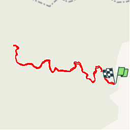
Au dessus de Gujar Alto

jpipacific
User

Length
5.8 km

Max alt
1011 m

Uphill gradient
131 m
Km-Effort
7.5 km

Min alt
960 m

Downhill gradient
135 m
Boucle
Yes
Creation date :
2019-03-25 12:31:25.207
Updated on :
2019-03-26 08:39:11.65
1h33
Difficulty : Very easy

FREE GPS app for hiking
 SityTrail
IGN / Geographical institutes
SityTrail Plus
The world is yours!
About
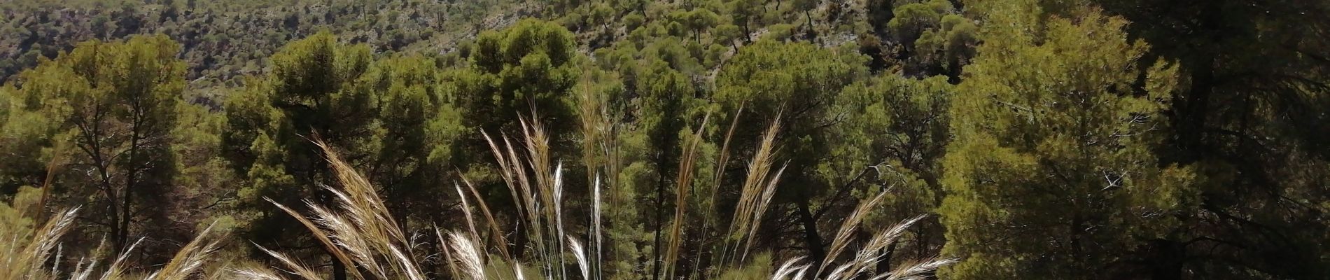
Trail Walking of 5.8 km to be discovered at Andalusia, Granada, Los Guájares. This trail is proposed by jpipacific.
Description
Randonnée très facile. Le lieu du départ nécessite une moto tout terrain ou un 4X4.
Photos


Positioning
Country:
Spain
Region :
Andalusia
Department/Province :
Granada
Municipality :
Los Guájares
Location:
Unknown
Start:(Dec)
Start:(UTM)
443683 ; 4082187 (30S) N.
Comments